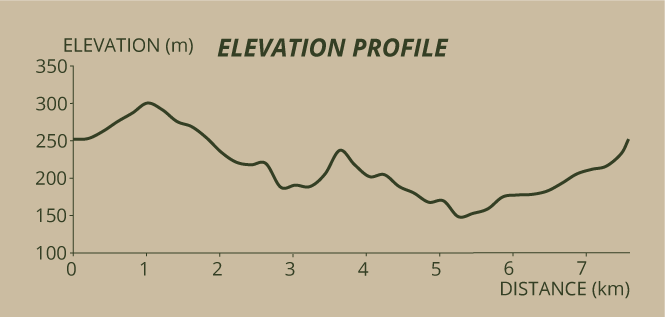



Go to Caldeiras da Ribeira Grande, where you will find the trails’ information panel, located near the car park adjacent to the thermal baths, the first of three different types of use of geothermal energy that you will see along the trail. Next, in the caldera with light blue water in continuous ebullition, you will find an 18th-century building of the Thermal Baths of Caldeiras da Ribeira Grande, the oldest thermal baths on the island. Here the water of the spring is heated by geothermal vapour and used in a bath therapy that is known historically as “Crown Baths”.
After having enjoyed looking at the architecture of Termas, go down the street, passing by a grand exemplar of the endemic vascular flora, a Prunus azorica. When you get to the information panels, walk in the direction of Monte Escuro and Lombadas. A few metres ahead, on your left, you will find the area where cozidos (geothermal stews) are cooked, the second type of application of geothermal heat. The Municipality of Ribeira Grande and EDA Renewables constructed nine geothermal caves that are publicly available for cooking the traditional Cozido das Caldeiras. These structures capture the vapour that circulates below at 4-5 metres of depth, through fractures that were formed by trachytic lava. The vapour is lead to the surface by convection, enabling the cooking of the ingredients that comprise the Cozido at a stable temperature of 90-95 degrees Celsius for 6 hours.
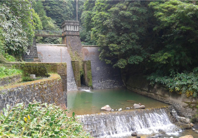
Return to the asphalt road and turn left, walking up the road, among pastures, where you will find many signs that alert you to the fact that you are crossing a degassing area. You should avoid staying here for a prolonged period of time. Accompanied by an endemic bird - Buteo buteo rothschildi, with the Vulcão do Fogo ahead of you, you will reach a fork where you will turn left and visit the dam, a construction from the beginning of the 20th century intended to be an artificial lake that could store water at night to be used by the turbines during the day. The canal channels the water into a conduit which, in turn, takes it to the turbine of the Hydroelectric Plant, located below, where the falling water is transformed into electric energy. This dam is the first stage of a hydraulic circuit that supplies the Hydroelectric Plant of Fajã Redonda, which you will visit further ahead in the trail.
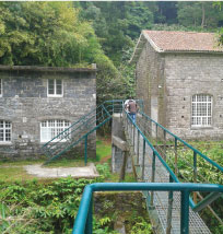
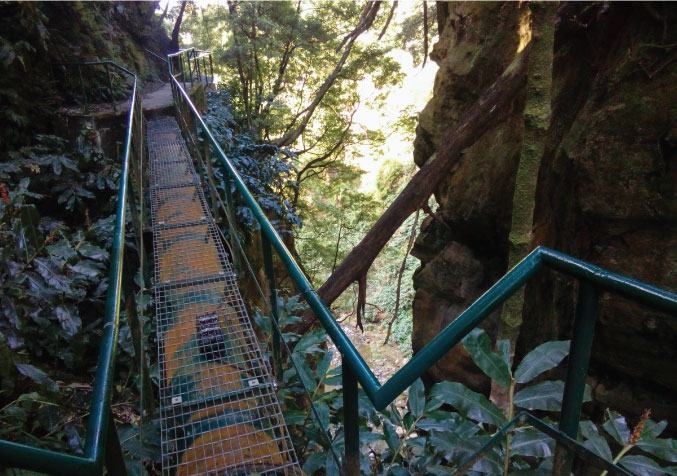
Go back to the point where you detoured to the dam and continue on the dirt road on your left. 50 metres ahead, walk into the shortcut on your left next to the water conduit, flanked by vegetation. We highlight introduced species such as Pittosporum undulatum, Hedychium gardnerianum and Acacia melanoxylon. You will pass by two improvised wooden staircases that will enable you to cross the conduit. When you reach an area with an agglomeration of Cryptomeria japonica, take the shortcut on your right, leaving the conduit behind and keep walking until you find a small gate, next to a rural road. Turn left and walk down the S-shaped dirt road that was moulded by the hills of the valley of Ribeira Grande. When you walk down, do notice the fumaroles that appear in the pumice embankments, revealing the secondary volcanism related to Vulcão do Fogo. As you approach the stream, the Fajã Redonda Hydroelectric Plant appears before you, the last stage of the hydraulic circuit previously mentioned. The plant stopped operating in 2004 and was replaced by Salto do Cabrito Hydroelectric Plant, which you will visit a bit further ahead. This plant was converted into a museum where you can learn about how hydroelectric energy was produced at the beginning of the 20th century. In the past, all of the equipment was manually activated and monitored.
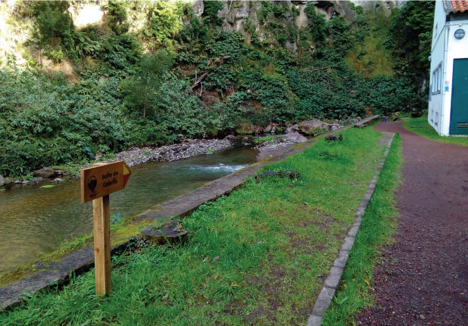
Cross the metallic bridge over the stream and take the shortcut on the opposite margin, next to the water conduit. A bit further ahead, the stream bed becomes uneven and suddenly you find yourself at a higher altitude in relation to the stream. Here you can observe the embankment of volcanic tuff. Next, go down the stone staircase, which could be slippery, and head to the Salto do Cabrito Hydroelectric Plant, near the water. Built in 2006, this plant was built in a location previously used for hydroelectric purposes and, unlike Fajã Redonda Hydroelectric Plant, the production of electricity is automated and controlled remotely. In this area, you may find some exemplars of endemic avifauna, such as Columba palumbus azorica, Buteo buteo rothschildi and the bat Nyctalus azoreum.
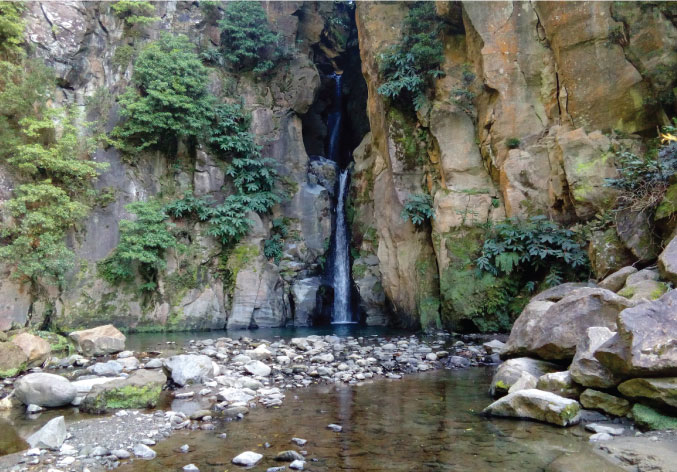
As you can see in the information panel, 50 metres ahead you may visit the Salto do Cabrito. Do not miss the opportunity to appreciate this waterfall with approximately 40 metres, caused by the sudden and accentuated unevenness of the stream bed of the stream which you noticed before descending the stone staircase.
Later, with your back turned to the Salto do Cabrito Hydroelectric Plant, go up the asphalt road that is flanked by Pittosporum undulatum, Acacia melanoxylon and Cryptomeria japonica, and turn left. A bit later you will pass by a reservoir and then descend the pathway on the right that will guide you to the regional road, where you should take a right.
In this phase, you will come across yet another use of geothermal energy, namely, the Geothermal Plants, which produce more than 44% of the total energy produced on the island of São Miguel. Approximately 300 metres ahead turn right on the dirt road and continue walking. After crossing the stream that flows in the valley of Ribeira Grande, turn right at the next rural road you find. Walk for 20 metres and turn left, at the rural road, until it merges with a gobbled stone road, where you will be able to see the information panel that will you inform you of the distance that separates you from the end of the trail (1,2 km).
Turn right and walk up this pathway, flanked first by Platanus acerifolia and then by Hedychium gardnerianum and Pittosporum undulatum until you return to the zone of the Caldeiras da Ribeira Grande.